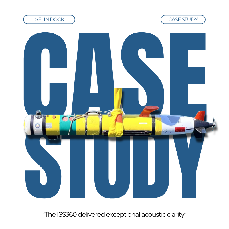
AUV SLAM navigation
Subsea operators rejoice, you no longer have to compromise size, power or budget for high-performance navigation.
Water blocks GPS signals, forcing Autonomous Underwater Vehicles to rely on dead reckoning, which suffers from unbounded positional drift.
While high-end Inertial Navigation Systems (INS) help, they come with severe penalties in size, weight, power and cost.
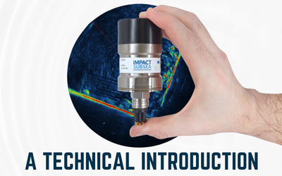
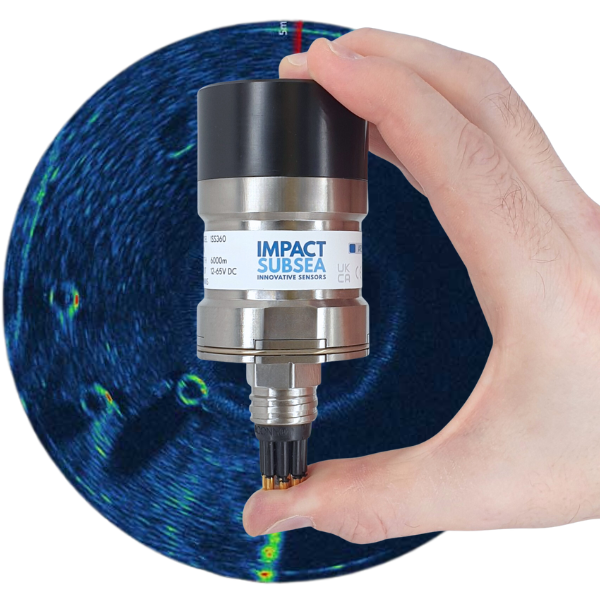
A landmark study from the MIT-WHOI joint program (conducted by Andrew J. Motz) has proven that our Impact Subsea ISS360 Mechanically Scanned Imaging Sonar solves this challenge.
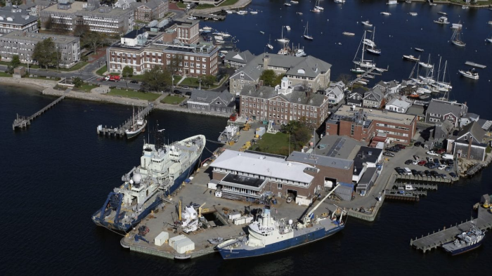
Deployed on a REMUS-100 AUV at the WHOI Iselin Pier, researchers used an acoustic Simultaneous Localisation and Mapping (SLAM) pipeline powered by the ISS360 to navigate challenging low-visibility conditions and active tidal currents.
By choosing the ISS360, AUV manufacturers and service providers can unlock elite navigation tracking and advanced structural autonomy without compromising size, power or budget.
Don’t just take our word for it, read the case study below to see the numbers for yourself.
Location
Woods Hole Oceanographic Institution (WHOI) Iselin Pier, USA.
Platform
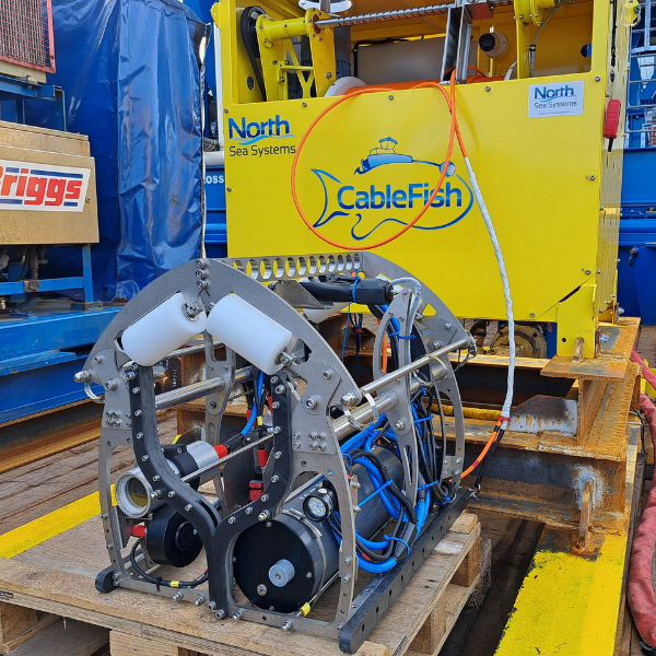
REMUS-100 AUV
Sensor
Impact Subsea ISS360 Mechanically Scanned Imaging Sonar
Partners
Massachusetts Institute of Technology (MIT) & Woods Hole Oceanographic Institution (WHOI) Joint Program.
MIT-WHOI Validates ISS360 sonar for real-time AUV SLAM navigation Case Study
Autonomous Underwater Vehicles (AUVs) are critical for monitoring subsea infrastructure like offshore wind farms and marine facilities.
Because water blocks GPS signals, AUVs rely on dead reckoning (integrating IMU and DVL data), which suffers from unbounded positional drift. High-end Inertial Navigation Systems (INS) can mitigate this but carry severe size, weight, power and cost (SWaP-C) penalties.
A landmark study by Andrew J. Motz at at the MIT-WHOI joint program proved that the Impact Subsea ISS360 Imaging Sonar solves this problem.
By deploying the ISS360 on a REMUS-100 AUV, researchers developed an acoustic Simultaneous Localisation and Mapping (SLAM) pipeline that eliminated unbounded navigation drift, reducing absolute position error by over 90%.
This system achieved position accuracy comparable to a premium, cost-prohibitive factory INS, all while utilising the low SWaP-C footprint of the ISS360.
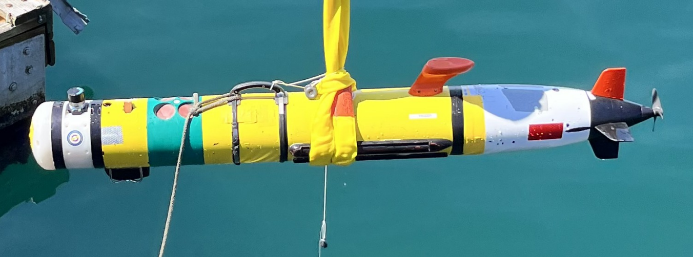
Real-world validation of the ISS360 SLAM pipeline was conducted at the WHOI Iselin Pier.
Divers guided the ISS360-equipped REMUS-100 through consecutive laps at a depth of 10 meters, navigating around a dense grid of underwater support pilings.
The environment featured low visibility (under 2 meters) and active tidal currents.
The ISS360 delivered exceptional acoustic clarity, achieving extraordinary benchmarks across more than an hour of continuous submerged deployment:
- 90%+ Error Reduction: Across the mission, the average absolute position error was bound to a mere 3.4 meters, successfully arresting compounding dead reckoning drift.
- Flawless Full AUV SLAM navigation: Operating without a pre-existing map, the system recorded a nearly identical average error of 3.3 meters.
- INS Parity: The 3.3-meter average error achieved purely through the ISS360 SLAM pipeline is comparable to the expected accuracy of an expensive, heavy, factory-grade INS navigating the same course.
The MIT-WHOI study successfully demonstrates that subsea operators do not need to sacrifice size, power, or budget to achieve pinpoint, drift-free autonomous navigation. The Impact Subsea ISS360 Scanning Imaging Sonar delivers commercial and defense operators a high-fidelity, ultra-compact acoustic imaging solution that serves dual purposes.
Beyond delivering crisp 360° environmental visualisation, its rich data output enables modern edge computing architectures to execute real-time localisation and mapping.
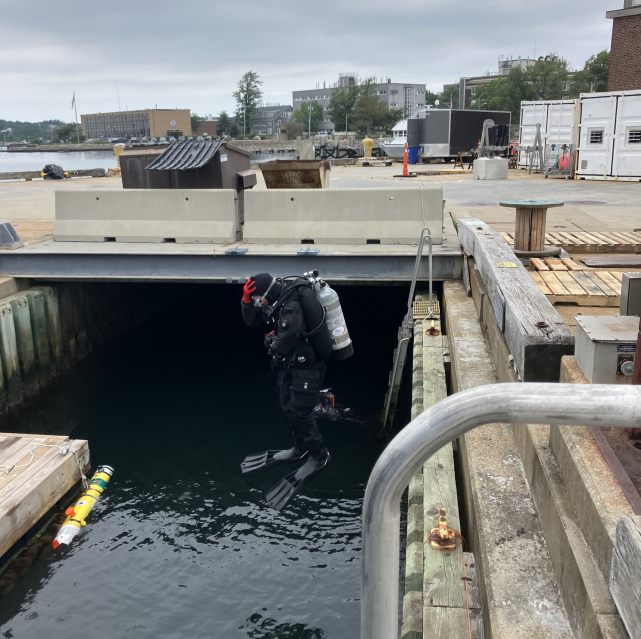
By choosing the ISS360, AUV manufacturers and service providers can unlock AUV SLAM navigation tracking and advanced structural autonomy at a fraction of the SWaP-C of traditional inertial sensors.
Further Resources:
- Read Andrew J. Motz’s thesis: SLAM for Structured Environments Using Mechanically Scanned Imaging Sonar
- Learn more about the ISS360 Imaging Sonar
- View the full Case Study